
AN INTELLIGENCE
LAYER FOR THE
PHYSICAL WORLD.
AXARA connects evidence about places and physical assets, remembers how they change, and turns it into intelligence you can act on.
- OBSERVE
- UNDERSTAND
- REMEMBER
- COMPARE
- ANTICIPATE
- ACT
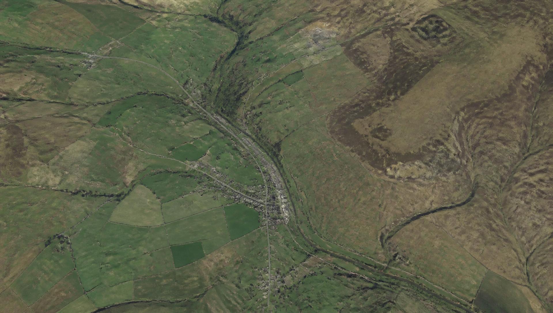
Satellite and aerial observation retrieved for the site extent.
- EXTENT
- 8.4 ha · site boundary resolved
- LATEST PASS
- 01 SEP 2026 · 4% cloud
ONE ENGINE.
APPLIED TO THE PHYSICAL WORLD.
Observation, interpretation, memory, comparison, anticipation and action are built once, then shaped around each physical-world problem.
Satellite imagery, registers, maps and documents for a real extent.
Evidence becomes interpreted intelligence, with source and confidence.
The place becomes a persistent record that keeps growing.
AXARA understands what changed, and against what.
Emerging signals, changes and evidence help show what may deserve attention next.
You know what deserves attention next.
Find land worth investigating, and understand land you already know.
Intelligence for the land you farm and the fields you manage.
Intelligence for the physical networks we depend on.
These are not separate products stitched together. They are views of the same engine — the same observation, the same evidence rules, the same persistent record — shaped around different physical-world problems.
THE WORLD CHANGES.
AXARA REMEMBERS.
Every place and asset can become a persistent intelligence record that grows as new evidence appears.
Site resolved and recorded.
Designations and flood evidence attached.
Nearby application recorded against the area.
Comparison pair added to the record.
Surface change observed on the eastern boundary.
Previous uncertainty resolved and remembered.
- Planning application submitted
- New environmental evidence recorded
- Surface change observed
- Previous uncertainty resolved
AXARA is not running another search every time. The next question starts from everything already known about the place.
ASK THE PHYSICAL WORLD A QUESTION.
A question is routed through the record, the evidence actually available and what has changed since last time — then answered with its sources and its limits.
“What has changed around this site since I last checked?”
- SEARCHING EXISTING RECORD
- CHECKING NEW EVIDENCE
- COMPARING WITH PREVIOUS STATE
- BUILDING ANSWER
Three things have changed since your last check: a planning application was submitted on adjacent land, surface conditions changed on the eastern boundary, and new flood evidence was published for the area.
Local planning register entry · satellite comparison pair (12 AUG 2026 → 01 SEP 2026) · published environmental dataset.
Observed change is visible in imagery but not verified on the ground. Register coverage is partial; absence of a record is not evidence of absence.
Open an investigation into the eastern boundary change.
- QUESTION
- PLACE
- MODULES
- EVIDENCE
- ANSWER
- LIMITS
“What changed here?”
“What should I investigate?”
“Which sites deserve attention?”
“How could this farm generate more income?”
“What should I know before buying this house?”
“Which assets have changed this month?”
ONE ENGINE. THREE APPLICATIONS OPEN TODAY.
LAND is available now. FARM and INFRASTRUCTURE are operational in beta. Each is the same engine, shaped around a different physical-world problem.
Find land worth investigating, and understand land you already know.
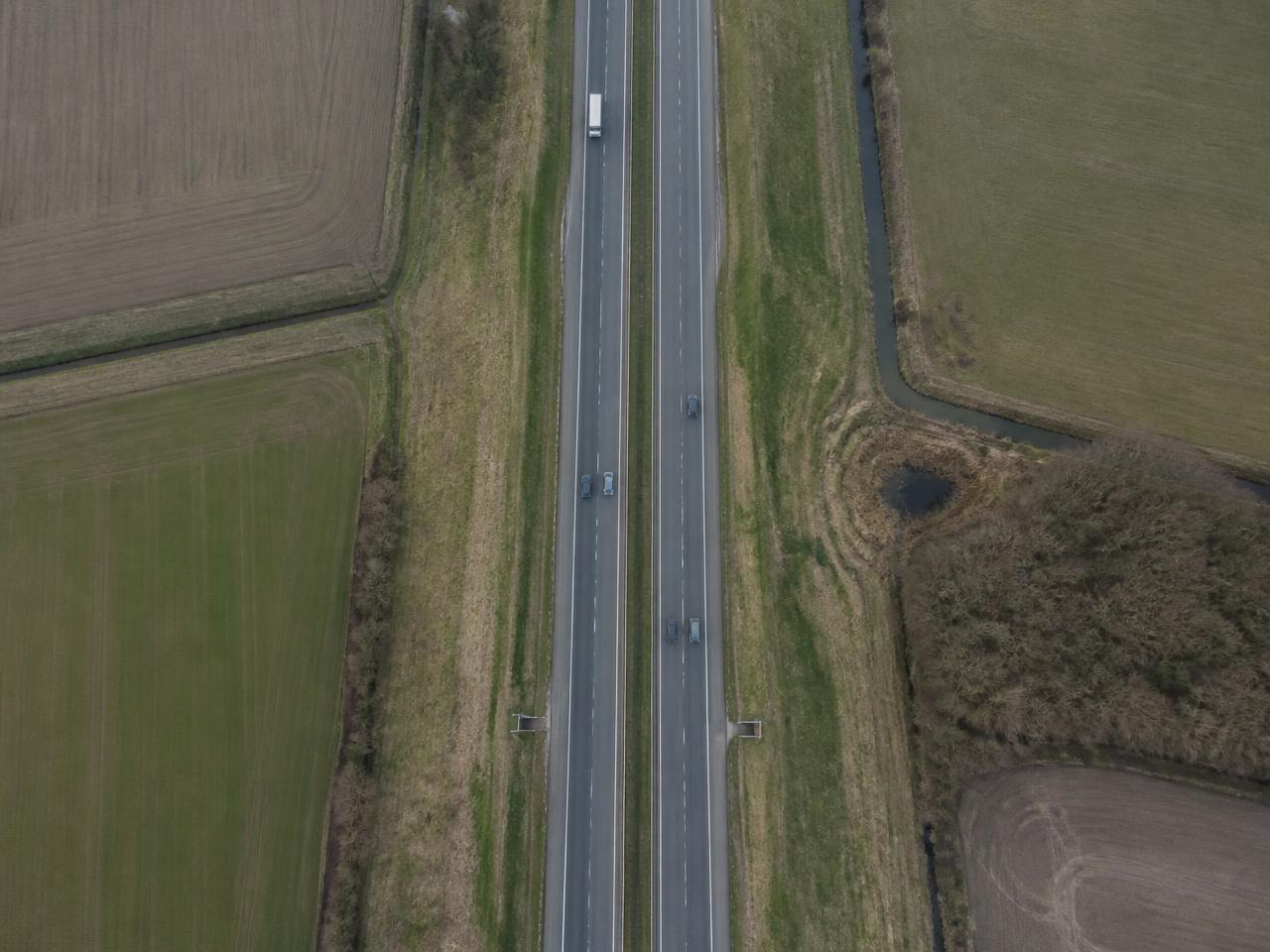
Understand and monitor physical infrastructure.
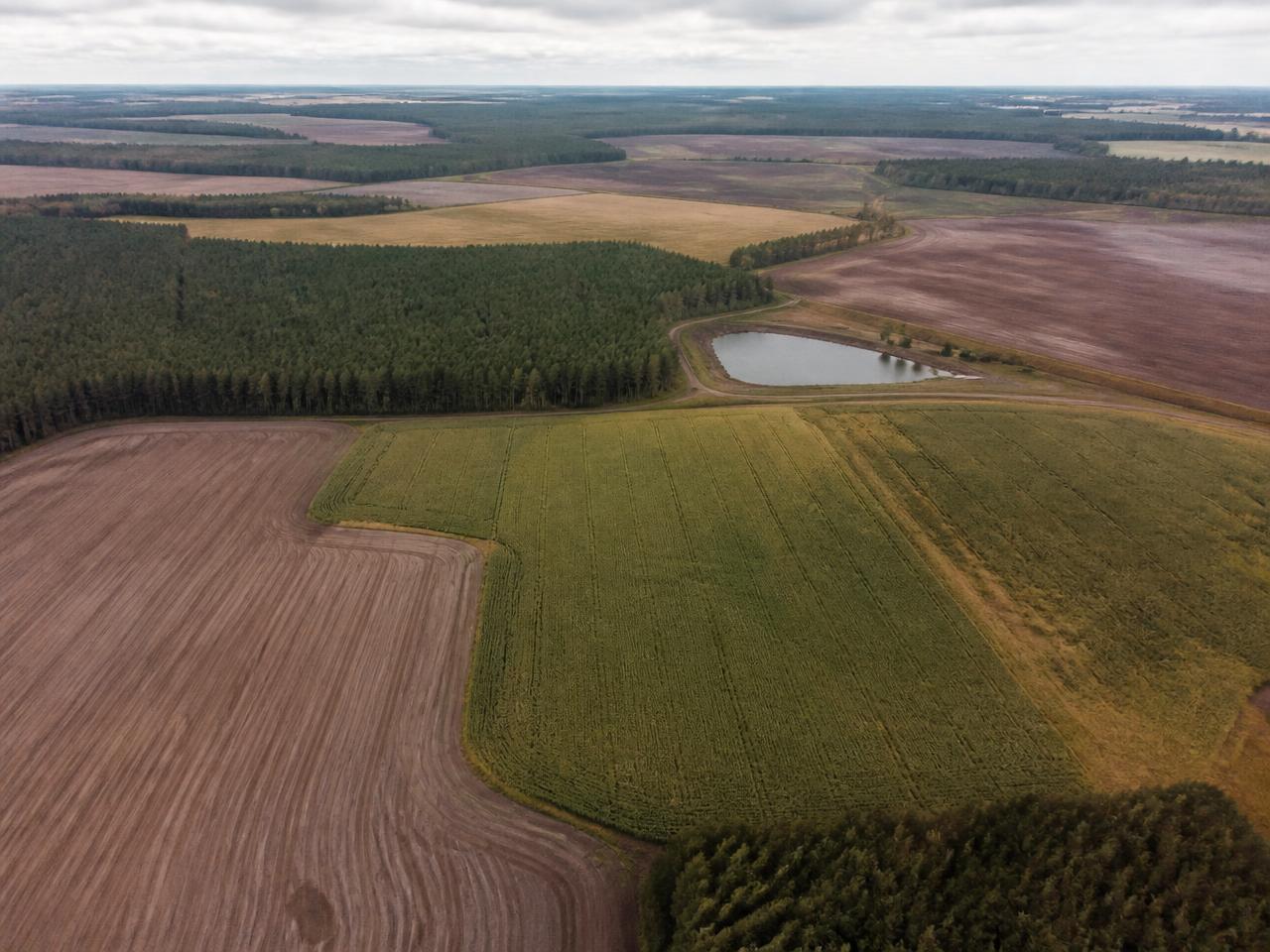
A farm intelligence and commercial decision platform.
The same engine, applied further, over time.
AXARA is built as one engine that can be pointed at different physical-world problems. The coming-soon areas above are directions, not products you can buy or use today.
FROM QUESTION TO DECISION.
Every AXARA answer follows the same path. The worked example below is illustrative, not a live analysis.
“Has construction started on this site?”
- QUESTION
“Has construction started on this site?”
- PLACE / ASSET
The site is identified and resolved to a persistent AXARA record.
- OBSERVE
Available observations and datasets are retrieved for that extent.
- EVIDENCE
Observations are compared over time and assembled as evidence.
- UNDERSTAND
Change is identified, classified and given a stated confidence.
- ANTICIPATE
Emerging signals and evidence show what may deserve attention next.
- ACT
An investigation is created and the next action is recommended.
- MONITOR
The site keeps being watched for further change.
- MEMORY
The result, and what actually happened, is remembered.
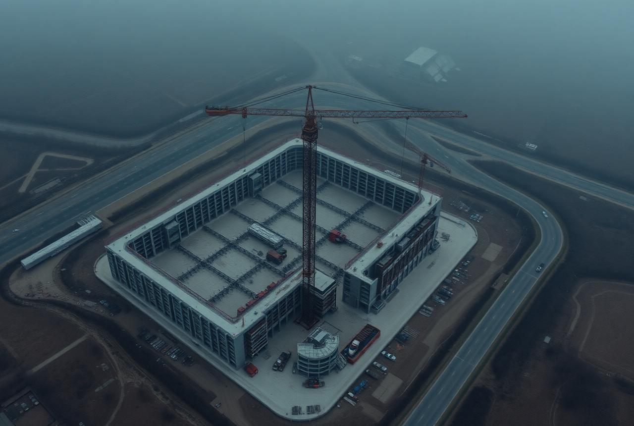
AXARA then keeps monitoring the site and remembers the result, so the next time the same question is asked the answer starts from everything already known.
WHAT CAN AXARA ANSWER?
Different industries, the same underlying question: what exists here, what changed, and what should be done about it.
- “Which sites are worth investigating?”
- “Is this site suitable for development?”
- “What has changed here?”
- “What constraints affect it?”
- “Where are similar opportunities?”
THE MORE AXARA OBSERVES,
THE MORE USEFUL THE RECORD BECOMES.
Every physical object in AXARA has a persistent identity. Information does not disappear when an analysis finishes — it accumulates against the place or asset it describes.
- Observations
- Documents
- Evidence
- Changes
- Investigations
- Outlooks
- Recommendations
- Actions
- Monitoring
- History
- OBSERVATION11 AUG 2026
Sentinel-2 pass, 4% cloud.
- CHANGE11 AUG 2026
Ground disturbance, 2.8 ha.
- INVESTIGATION12 AUG 2026
Opened by user, evidence attached.
- DOCUMENT13 AUG 2026
Planning search result stored.
- OUTCOME02 SEP 2026
Confirmed on site. Recorded.
ONE PLACE OR TEN THOUSAND.
AXARA works on a single site and on an entire estate. The same record structure scales from one place to a portfolio to an organisation.
One site, field, building or asset with its full history.
A group of places compared, ranked and watched together.
Every portfolio, with permissions, teams and audit.
- HIGHEST RISK
- Assets most likely to need intervention
- LARGEST CHANGES
- Where the most has physically changed
- NEW OPPORTUNITIES
- Where value may exist and is unrealised
- MISSING EVIDENCE
- Where AXARA cannot yet answer
- MONITOR ALERTS
- Meaningful change since you last looked
- INVESTIGATIONS
- Open questions awaiting attention
- RECOMMENDED ACTIONS
- The cheapest sufficient next step
- COVERAGE
- What is observed, and what is not
BUY ONLY WHAT YOU NEED.
Subscribe to a single application, a combination of them, or the whole platform. Shared capabilities — Places, Investigations, Monitor, Evidence and Advisor — work according to what you have access to.
These operate across whichever modules you hold. Enterprise customers can take the entire platform; administrators retain access to every module.
AXARA never presents a module you do not have as usable. If you open something outside your access, you are told plainly and shown what it would take to add it — nothing is faked and nothing is half-loaded.
AXARA NEVER IMPLIES CERTAINTY IT CANNOT SUPPORT.
Every material output states how it is known. The language is “based on available evidence” — never “AXARA knows”.
Recorded fact from a named source or dataset.
Measured directly from imagery, sensors or a field record.
Reasoned from other evidence. The reasoning is shown.
Emerging signals about what may deserve attention next. Uncertainty stated.
- SOURCE
- Where the information came from
- DATE
- When it was observed or recorded
- METHOD
- How the observation was made
- CONFIDENCE
- How strongly the evidence supports it
- LIMITATIONS
- What the evidence cannot tell you
- EVIDENCE USED
- The specific records behind the answer
- GAPS
- What is not observed at all
- LANGUAGE
- “Based on available evidence…”
INTELLIGENCE FOR THE PHYSICAL WORLD.
Practical guides and research for understanding land, farms and infrastructure.
- LAND · FINDING LANDHOW TO FIND DEVELOPMENT LANDYou find development land by working outward from evidence rather than inward from listings. Start with a defined search area, layer planning history, constraints, access and physical change, then shortlist the sites where the evidence supports a development story and the unknowns are answerable. Portals show you what is already being marketed; a repeatable evidence method shows you what is worth investigating before it is.READ GUIDE →
- FARM · TOOLS AND METHODFARM MANAGEMENT SOFTWARE: WHAT TO LOOK FORFarm management software should hold an accurate field map, keep durable records against each field, make change over time visible, and let you find what you recorded years later. Anything that cannot answer “what happened in this field, when, and how do we know?” is a data-entry system rather than a management tool.READ GUIDE →
- INFRASTRUCTURE · ASSET MANAGEMENTINFRASTRUCTURE ASSET MANAGEMENT: THE RECORD PROBLEMInfrastructure asset management depends on knowing what you own, where it is, what has been observed about it and when. Most portfolios struggle not because analysis is weak but because the record is fragmented across inspection reports, spreadsheets and individual memory. A persistent per-asset record with dated evidence is the foundation everything else stands on.READ GUIDE →
THE PHYSICAL WORLD
DOESN'T NEED ANOTHER DASHBOARD.
IT NEEDS MEMORY.
AXARA turns places and assets into persistent intelligence that can be observed, questioned, monitored and understood over time.