
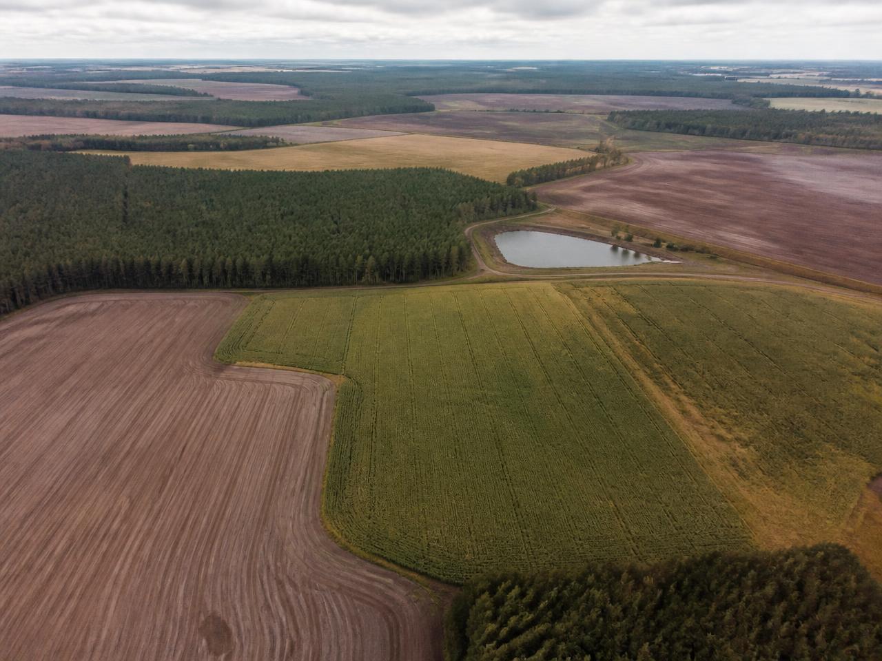
WHAT IS TRUE
ABOUT THIS LAND?
Build one persistent intelligence record for your farm and every field within it. AXARA connects land, water, environmental, weather and Earth observation evidence to the place itself.
See what is known, what changed, what deserves attention and what remains unknown.
FARMERS · FARM MANAGERS · ESTATES · AGRONOMISTS · RURAL LAND TEAMS
BUILD THE RECORD ONCE.
LET THE INTELLIGENCE ACCUMULATE.
Each field becomes its own evidence-backed record. AXARA then rolls what matters up to the holding, without losing the field-level evidence underneath.
Boundary, area, holding and every answer tested against it.
What is material rolls up to the holding.
THE LAND IS ONE PLACE.
THE EVIDENCE ISN'T.
Land classification, geology, water, environmental designations, planning constraints, Earth observation and other evidence normally live in different systems. AXARA tests available evidence against the actual field boundary and keeps the result attached to that field.
FROM A FIELD BOUNDARY
TO WHAT DESERVES ATTENTION.
Recorded
Calculated from geometry
Attached
- Agricultural classification
- Geology
- Elevation / slope
- Flood
- Surface water
- Groundwater
- Rivers
- Designations
- Habitats
- Nitrate zones
- Constraints
- Available observations
- Vegetation signal
- Historical observations
- Recent conditions
- Historical context
PHYSICAL CHANGE SIGNAL DETECTED
RECENT WEATHER CONTEXT MAY MATTER
ENVIRONMENTAL EVIDENCE REQUIRES REVIEW
NO MATERIAL CHANGE IDENTIFIED
AXARA surfaces evidence that deserves review. It does not diagnose crop health, disease, yield or agricultural cause.
DON'T READ EVERYTHING.
START WITH WHAT CHANGED.
AXARA compares the evidence attached to the farm and fields and surfaces the things most worth reviewing.
CHANGE DETECTED
WEATHER CONTEXT
CONSTRAINT EVIDENCE
SEE THE FIELD THROUGH TIME.
APR 2026APR 2026
8% CLOUD
RECORDED
BASELINE OBSERVATION
AXARA can retrieve available Copernicus Sentinel-2 observations and build a dated physical history of the field. Observations are not real-time, and cloud can prevent one entirely.
≠
CAUSE ESTABLISHED
AXARA can identify measurable change where the imagery supports it. It does not automatically know why that change occurred.
WEATHER MATTERS MORE
WHEN IT IS ATTACHED TO THE FIELD.
19.2 MM RAINFALL
52.5 MM MEDIAN
DRIER THAN HISTORICAL CONTEXT
“Recent conditions may be relevant when reviewing field observations.”
Weather is context, not causation. AXARA does not infer drought damage, yield loss, disease or an irrigation requirement from it.
SATELLITES DON'T KNOW
EVERYTHING YOU KNOW.
Some of the most important facts about a field come from the people managing it. AXARA separates recorded human knowledge from external evidence while keeping both attached to the same place.
CHANGE SIGNAL DETECTED
Source: Copernicus Sentinel-2
FIELD CULTIVATED
Recorded: 14 August 2026
Measured from available data
Provided by the people managing the land
AXARA reasoning from evidence
Insufficient evidence
THE FIELD CHANGES.
AXARA KEEPS THE HISTORY.
Boundary recorded
Attached
Attached
New observation
Field activity recorded
Dry period recorded
Change from previous state detected
“WHAT CHANGED SINCE I LAST CHECKED?”
AXARA does not treat every investigation as a new report. Evidence accumulates around the field so later observations can be understood against what was already known.
ASK THE FARM WHAT WE KNOW.
Questions are answered against the evidence attached to your farm and fields.
WHAT SHOULD I KNOW ABOUT FIELD 7?
- READING FIELD RECORD
- CHECKING LAND EVIDENCE
- CHECKING WATER + ENVIRONMENT
- CHECKING RECENT OBSERVATIONS
- CHECKING WEATHER CONTEXT
- COMPARING WITH PREVIOUS STATE
- ANSWER
These are evidence retrieval stages, not model reasoning.
Field 7 · illustrative record
Boundary and area recorded. Land classification, geology, water and environmental evidence tested against the boundary and attached with sources and dates.
A measurable difference between two available Sentinel-2 observations. Change is measured, not classified.
The observed change, and environmental evidence recorded against part of the boundary.
What is growing in the field, why the observed change occurred, and any operation not recorded in AXARA.
A recorded field activity, or a clear later observation, would resolve the open questions.
Natural England · Environment Agency · BGS · Planning Data · Copernicus
18 FIELD RECORDS.
ONE VIEW OF THE HOLDING.
Field evidence remains attached to each field while material intelligence rolls up to the holding.
MAP → UNDERSTAND → OBSERVE → ACT → REMEMBER
Define the holding.
Record each field.
Connect available authoritative evidence.
Build physical and environmental history.
Surface what deserves review.
Interrogate the accumulated evidence.
Return without starting again.
WHAT FARM ACTUALLY DOES
Grouped, each carrying its real status — consistent with /status. AXARA FARM is in early access and everything here is stated at the level it has been validated to. Open a group to read the detail.
RECORDThe holding and every field, held as a record.2 +
- FARM RECORDBETA
The holding and its extent as a persistent record.
- FIELD RECORDSBETA
Each field drawn, measured and held separately.
UNDERSTANDRead the evidence that applies to the field.4 +
- LANDBETA
Agricultural land classification, geology, elevation, slope and aspect.
- WATERBETA
Main rivers, flood zones, surface water and groundwater zones.
- ENVIRONMENTBETA
SSSI, habitats, designations, nitrate zones and planning constraints.
- ACCESSBETA
Open access land, mapped rights of way, roads and tracks.
OBSERVESee physical change without a visit.1 +
- EARTH OBSERVATIONEXPERIMENTAL
Sentinel-2 scenes and vegetation index over the boundary.
ATTENDWhat matters, and what is still missing.1 +
- UNKNOWN REGISTERBETA
What AXARA cannot establish, and what would answer it.
ASKInterrogate the record.1 +
- ASK AXARABETA
Questions answered from the held evidence only.
SEE WHAT MAY BE RELEVANT.
NOT WHAT YOU ARE “ELIGIBLE” FOR.
AXARA can compare recorded field evidence with available stewardship context and identify potentially relevant areas for further investigation.
Recorded field evidence overlaps context that may be worth investigating further.
A determination AXARA does not make. Scheme eligibility requires authoritative rules and evidence AXARA does not hold.
EVERY ANSWER HAS A HISTORY.
- FIELD
- Field 07
- SOURCE
- Natural England
- DATASET
- Agricultural Land Classification
- RETRIEVED
- Date and time of retrieval recorded
- SPATIAL TEST
- INTERSECTS FIELD
- EVIDENCE
- A classified area intersects the recorded boundary
- INTERPRETATION
- Classification is relevant to part of this field
- LIMITATION
- National mapping scale; not a field-level survey
WHAT AXARA FARM DOES NOT ASSUME
- Vegetation change does not establish its cause.
- AXARA does not diagnose crop disease.
- AXARA does not guarantee yield.
- AXARA does not automatically know what crop is present unless it is supported by evidence or recorded by you.
- Weather context does not prove agricultural impact.
- Stewardship relevance does not establish eligibility.
- Satellite observations are not real-time.
- Cloud and imagery availability affect observation quality.
- External datasets may be incomplete or delayed.
- UNKNOWN remains UNKNOWN.
- AXARA does not replace professional agronomic, environmental or regulatory advice.
Guides for understanding fields, evidence and change across a farm.
- FARM · TOOLS AND METHODFARM MANAGEMENT SOFTWARE: WHAT TO LOOK FORFarm management software should hold an accurate field map, keep durable records against each field, make change over time visible, and let you find what you recorded years later. Anything that cannot answer “what happened in this field, when, and how do we know?” is a data-entry system rather than a management tool.READ GUIDE →
- FARM · MAPPINGFARM MAPPING SOFTWARE: MAPPING FIELDS PROPERLYFarm mapping software should let you draw and maintain accurate field boundaries, calculate areas consistently, and use those boundaries as the anchor for every record and observation. Boundary accuracy is not a cosmetic concern: areas drive rates, records, reporting and every comparison you make later.READ GUIDE →
- FARM · OBSERVATIONSATELLITE IMAGERY FOR FARMS: WHAT IT CAN AND CANNOT SHOWSatellite imagery shows variation and change across fields over time — where growth differs, where something has altered since the last clear image, and how a field compares with itself in previous seasons. It does not diagnose cause. Interpretation still requires ground knowledge, and availability depends on third-party satellites, revisit intervals and cloud cover.READ GUIDE →
- FARM · RECORDSFIELD RECORDS: KEEPING A RECORD THAT LASTSA useful field record holds operations, inputs, observations, imagery and decisions against a stable field boundary, each with a date and a source. The test of a good record is not whether it satisfies a form today, but whether it answers a question honestly in five years when nobody involved is still available.READ GUIDE →
WHAT IS TRUE
ABOUT THIS LAND?
Map the holding. Build the field records. Connect the evidence. Understand what changed. Keep the history.