HOW AXARA WORKS

THE PHYSICAL WORLD CHANGES.
AXARA REMEMBERS.

AXARA combines authoritative data, Earth observation and AI reasoning to build persistent intelligence records for land, infrastructure and farms — helping people understand what exists, what changed, what matters and what may deserve attention next.

01
OBSERVE
02
UNDERSTAND
03
REMEMBER
04
COMPARE
05
ANTICIPATE
06
ACT

AXARA uses available public and third-party Earth-observation and geospatial sources where connected. It does not operate its own satellites, and coverage is not continuous.

FROM EVIDENCE TO ACTION

ONE LOOP, RUN CONTINUOUSLY OVER A PLACE.

Each stage builds on the evidence held before it. Nothing here runs on its own schedule — the loop advances when evidence is added, retrieved or reviewed.

01
OBSERVE

Connect available authoritative, geospatial, Earth-observation and user-provided evidence.

02
UNDERSTAND

Combine observations with the context needed to understand a physical place or asset.

03
REMEMBER

Build a persistent record so intelligence is not lost between searches, reports or people.

04
COMPARE

Compare evidence through time, across records and against relevant surrounding activity.

05
ANTICIPATE

Use emerging signals, changes and evidence to identify what may deserve attention next.

06
ACT

Turn intelligence into a clearer next question, investigation or decision.

AXARA MEMORY

INTELLIGENCE THAT DOESN'T START AGAIN EVERY TIME.

A search returns results and forgets them. A chat answers and forgets you. AXARA is built the other way round: around persistent records of physical places and assets that keep their evidence.

  • Evidence can be retained against the record.
  • Sources can be traced back to where the claim came from.
  • Previous observations can be compared with new ones.
  • Changes become part of the record, not a one-off alert.
  • Unknowns stay visible instead of being smoothed over.
  • New evidence can change the understanding — and the record shows it.
SITE / ASSET RECORDILLUSTRATIVE AXARA WORKFLOW
  1. T1
    Initial evidence captured

    The record is created: location, boundary and the first authoritative and spatial evidence AXARA can retrieve.

  2. T2
    New planning / environmental / operational evidence

    Further evidence attaches to the same record rather than starting a new search.

  3. T3
    Physical or contextual change identified

    Comparison against earlier evidence shows something changed on or around the place.

  4. T4
    AXARA highlights what deserves attention

    The record surfaces the change, what supports it, and what remains unknown.

ONE ENGINE · THREE APPLICATIONS

ONE INTELLIGENCE LAYER.
THREE LIVE APPLICATIONS.

The underlying AXARA architecture is reusable. LAND, INFRASTRUCTURE and FARM apply the same evidence-first principles to different physical-world decisions.

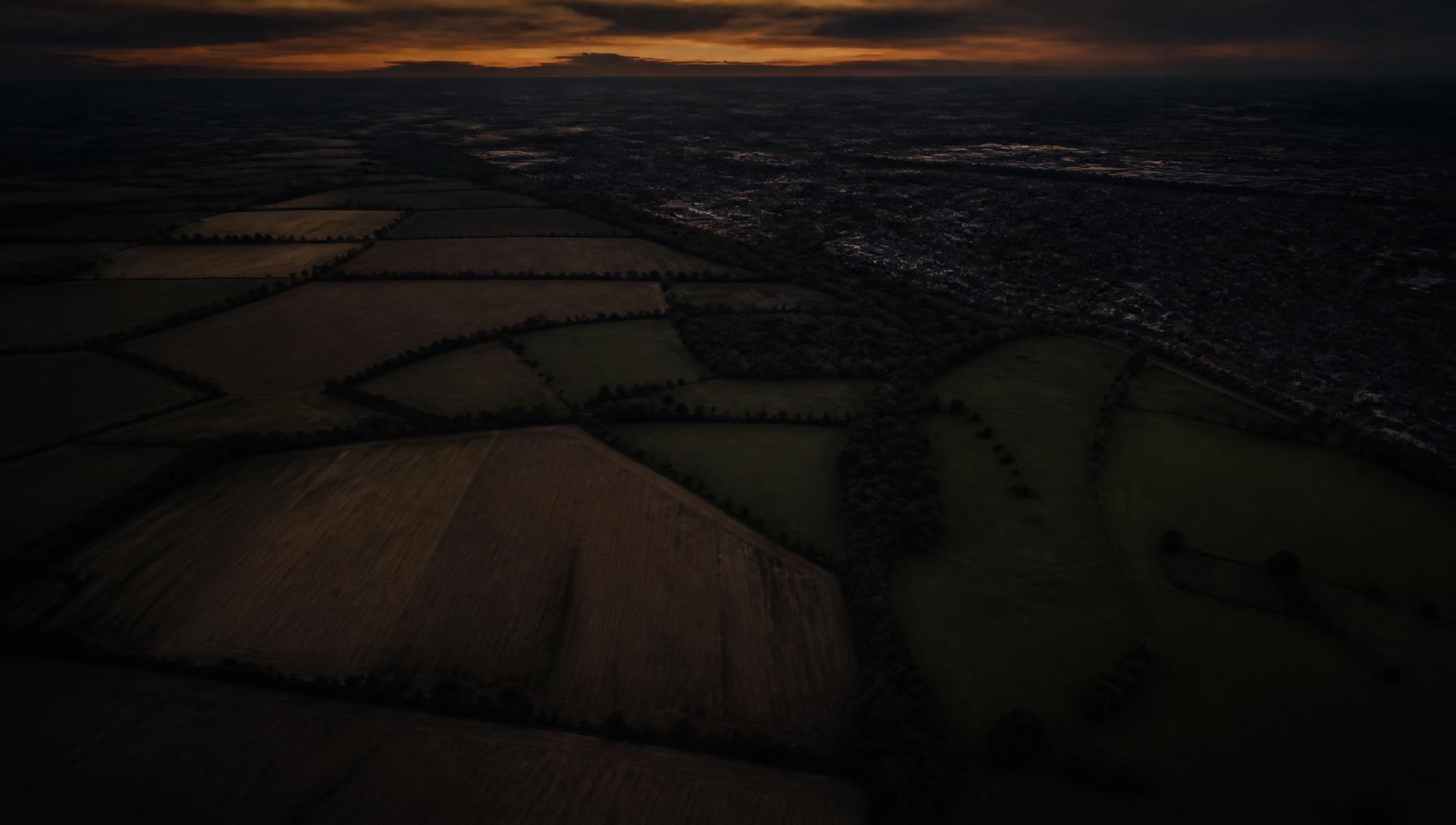
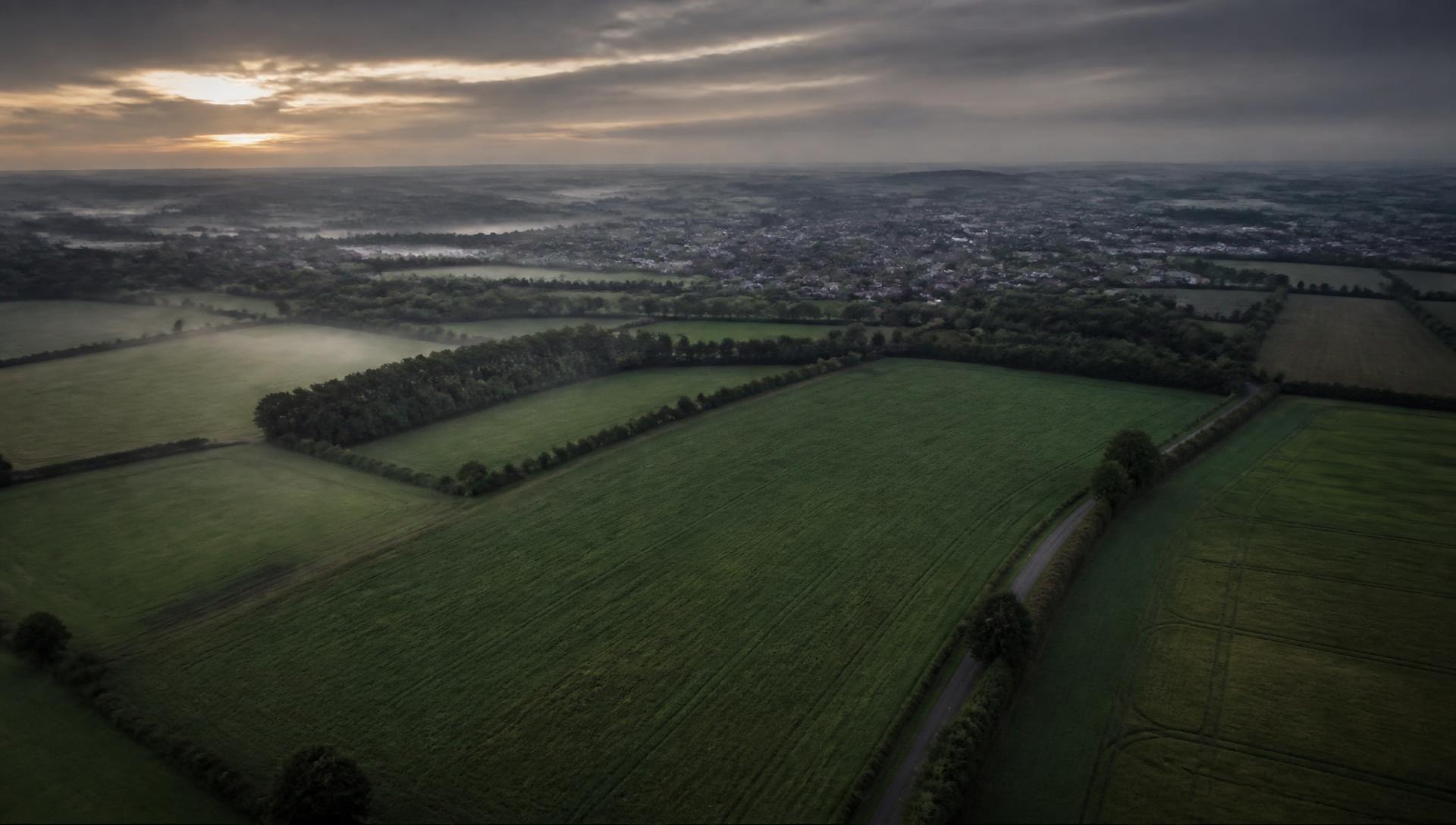
Aerial view of strategic land parcels at dawn

AXARA LAND

AVAILABLE

“What do we know about this land?”

  • Find land worth investigating.
  • Understand planning and constraints.
  • Build persistent site records.
  • Track relevant change.
  • Surface opportunities, contradictions and unknowns.
  • Ask evidence-grounded questions.
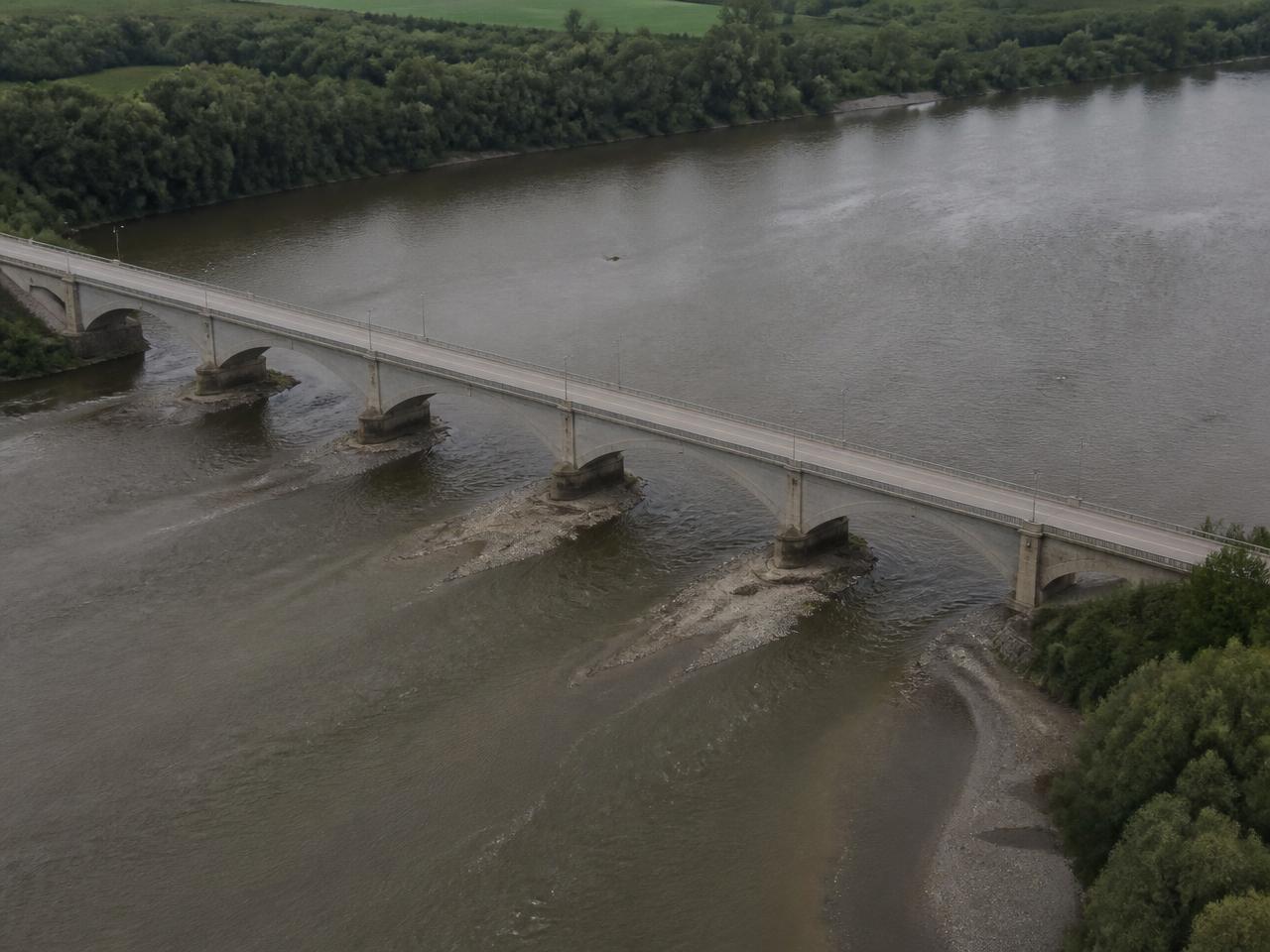
Road bridge structure crossing a river valley

AXARA INFRASTRUCTURE

AVAILABLE

“What do we know about this asset?”

  • Understand roads, rail and physical network assets.
  • Combine available asset, environmental and spatial evidence.
  • Create persistent infrastructure records.
  • Track relevant evidence and change.
  • Surface attention signals and next actions.
  • Ask evidence-grounded questions.
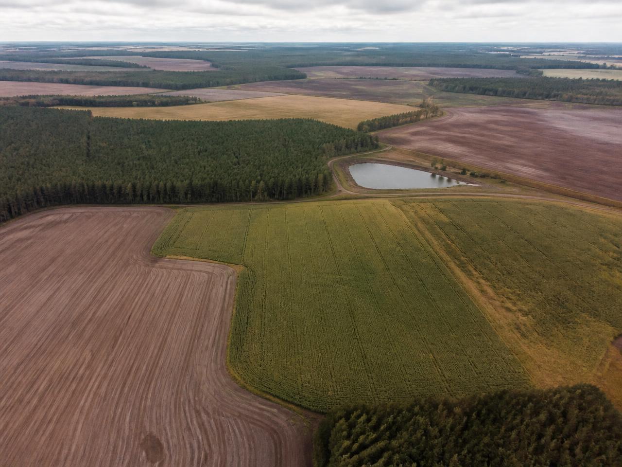
Patchwork of farmland fields seen from above

AXARA FARM

AVAILABLE

“What do we know about this holding?”

  • Understand fields and farm holdings.
  • Combine environmental, land, weather and Earth-observation evidence.
  • Build persistent farm and field records.
  • Understand change through time.
  • Surface relevant attention signals.
  • Ask evidence-grounded questions.

What each application can show depends on which sources are connected and available for the place you are looking at. Where evidence is missing, AXARA says so.

SHARED ARCHITECTURE

ONE PHYSICAL CHANGE.
THREE DIFFERENT QUESTIONS.

The same observation means different things depending on what you are responsible for. AXARA interprets shared evidence through the question the application is asking.

ILLUSTRATIVE AXARA WORKFLOW
PHYSICAL CHANGE OBSERVED
LAND

“Could this change affect the development understanding of this site?”

OPEN LAND
INFRASTRUCTURE

“Could this change matter to this asset or surrounding network?”

OPEN INFRASTRUCTURE
FARM

“Could this change matter to this field or holding?”

OPEN FARM
ASK AXARA

ASK THE RECORD.
NOT JUST THE MODEL.

Ask AXARA reasons over the evidence held against the physical record — not over general knowledge alone. Where the record holds nothing, the answer is UNKNOWN.

LAND
  • “What has changed around this site?”
  • “What are the biggest constraints?”
  • “Why did AXARA flag this?”
INFRASTRUCTURE
  • “What currently deserves attention?”
  • “What evidence supports this signal?”
  • “What don't we know about this asset?”
FARM
  • “What changed in this field?”
  • “What evidence should I investigate next?”
  • “Why has AXARA highlighted this?”
ANSWER DISCIPLINEILLUSTRATIVE ANSWER STRUCTURE
ANSWER
What AXARA can say, in plain language.
EVIDENCE
The specific evidence the answer rests on.
SOURCE
Where that evidence came from.
RETRIEVED
When it was retrieved into the record.
CONFIDENCE / LIMITATION
How far the answer can be relied upon.
UNKNOWN
What is genuinely not known.
NEXT ACTION
The cheapest sufficient next step.
EVIDENCE FIRST

EVERY ANSWER SHOULD HAVE A REASON.

AXARA does not treat plausible text as knowledge. An answer is only as strong as the evidence behind it — and the page says which.

SOURCE THE CLAIM

Every statement points back to where it came from.

SHOW THE EVIDENCE

The underlying evidence stays visible, not summarised away.

STATE THE LIMITATION

What the evidence cannot support is said plainly.

PRESERVE THE UNKNOWN

Absence of evidence is recorded as absence, not filled in.

RETAIN THE HISTORY

Earlier evidence stays on the record so change can be seen.

KNOWN

Established by authoritative evidence held on the record.

SUPPORTED

Multiple pieces of evidence point the same way.

INDICATED

A signal exists, but it requires verification.

UNKNOWN

No evidence held. A valid AXARA answer.

EARTH OBSERVATION

ANOTHER SOURCE OF EVIDENCE FROM ABOVE.

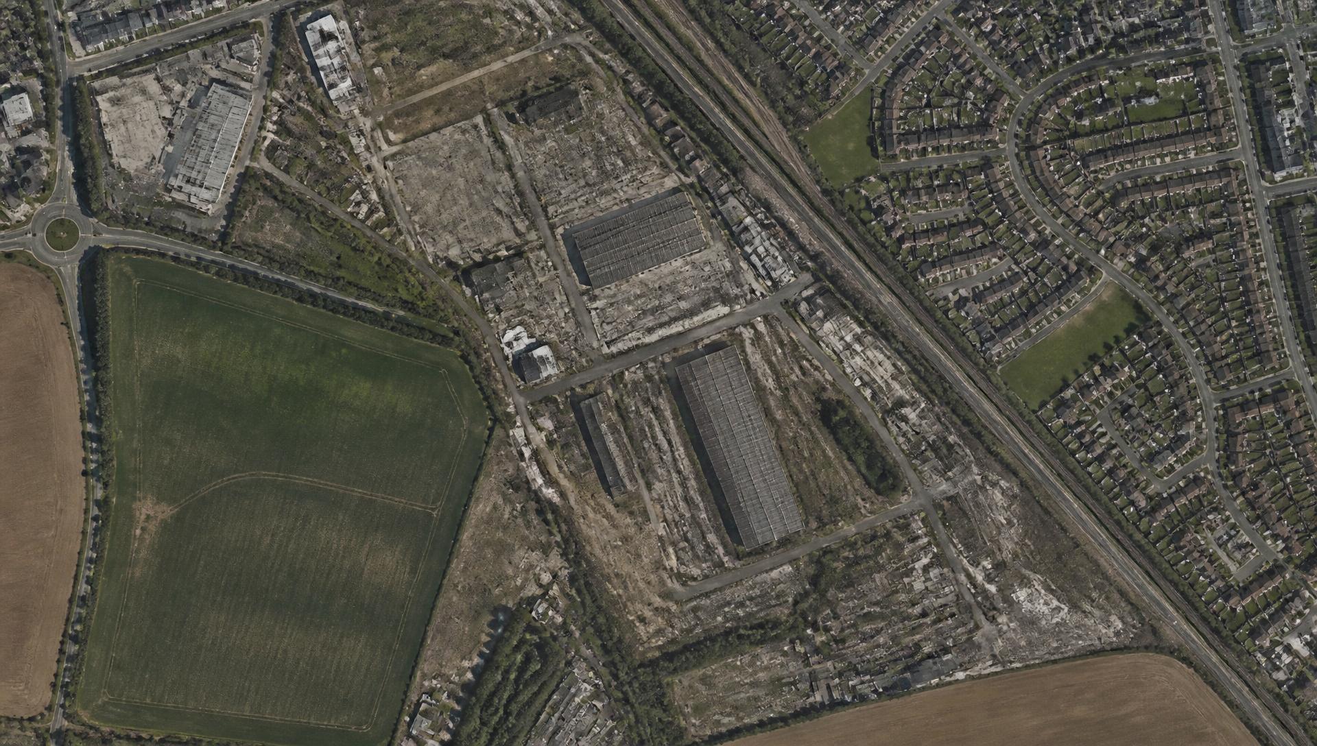
Top-down satellite view of a site boundary and surrounding land

Where sources are connected, AXARA can retrieve available satellite imagery and compare scenes over time alongside every other kind of evidence held on a record. Observation is one input, never the whole answer.

  • AXARA uses available third-party and public Earth-observation sources where connected.
  • AXARA does not operate its own satellite constellation.
  • Coverage, resolution, revisit frequency, cloud cover and source availability limit what can be observed.
  • Change can be measured. What caused it usually still needs verifying.
PLATFORM ARCHITECTURE

ONE LAYER UNDERNEATH EVERY APPLICATION.

AXARA
AXARA EARTH
PHYSICAL INTELLIGENCE LAYER
EvidenceObservationMemoryComparisonAnticipationReasoning
FUTURE APPLICATIONS · IN DEVELOPMENT
PROPERTY · IN DEVELOPMENTBUILD · IN DEVELOPMENTHOME · IN DEVELOPMENT
HORIZON

THE ARCHITECTURE CAN GO FURTHER.

AXARA is being designed as a reusable physical-world intelligence architecture that could support further domains over time. Nothing below exists as a capability today.

AXARA AUTONOMOUSFUTURE

A concept only. AXARA does not operate robotics or autonomous observation systems.

AXARA SYSTEMSFUTURE

A concept only. AXARA does not operate deployed sensor networks.

AXARA SPACEFUTURE

A concept only. AXARA does not own or operate satellites.

GET STARTED

START WITH A PLACE THAT MATTERS.

Investigate land, infrastructure or a farm holding and begin building an evidence-backed AXARA record.