
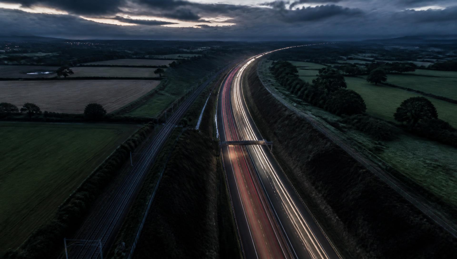
UNDERSTAND THE
PHYSICAL NETWORKS
WE DEPEND ON.
AXARA builds a persistent intelligence record for roads and rail corridors, connects available evidence to the asset, observes change around it and shows what deserves attention next.
It distinguishes what is known, observed, inferred and still unknown.
INFRASTRUCTURE OWNERS · ASSET MANAGERS · ENGINEERING TEAMS · HIGHWAY TEAMS · RAIL TEAMS · CONSULTANTS · SURVEYORS
BUILD THE RECORD ONCE.
LET THE EVIDENCE ACCUMULATE.
Evidence stays attached to the same asset record, so later observations and questions start from what AXARA already knows.
Geometry, network identity, evidence, observations, history and open unknowns — held in one place.
What changed, what deserves attention, and what is still unknown.
Corridor references and section numbers above are worked examples of the interface, not live records.
ROAD AND RAIL.
ONE INTELLIGENCE MODEL.
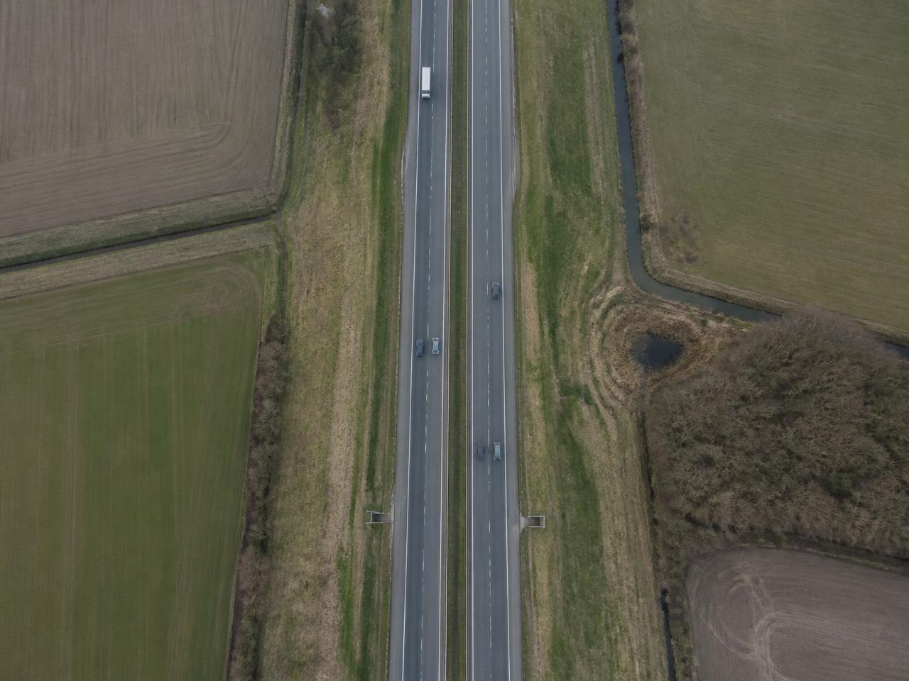
Understand a road or corridor, its surrounding environment, available evidence and observable change.
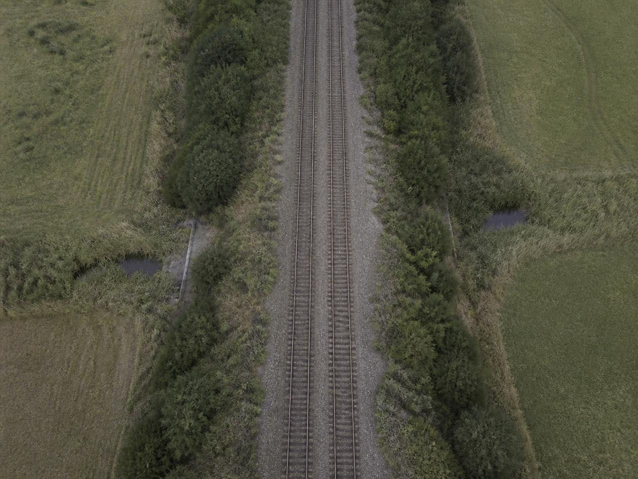
Understand a rail corridor, surrounding terrain, environmental context and observable change beside the line.
Other infrastructure classes remain outside the current INFRASTRUCTURE scope.
DON'T REVIEW EVERY ASSET.
START WITH WHAT CHANGED.
NEW ENVIRONMENTAL EVIDENCE
SURROUNDING DEVELOPMENT CHANGE
OBSERVABLE VEGETATION CHANGE
SOURCE UNAVAILABLE — EVIDENCE GAP REQUIRES REVIEW
An asset reaches this list because evidence changed — a new environmental record, observable change beside the corridor, or a source that could not be checked. The reason and its source are shown with the item, so a human decides what to do next.
AXARA allocates human attention. It does not replace human inspection.
AXARA DOESN'T REPLACE INSPECTION.
IT HELPS DECIDE WHERE TO LOOK.
Satellite imagery, public records and contextual evidence can identify change and uncertainty. Engineering condition still requires appropriate inspection evidence.
Surface change in the surrounding area.
Pavement failure.
Review the asset record, or request / complete an inspection.
IDENTIFY → UNDERSTAND → OBSERVE → PRIORITISE → INVESTIGATE → REMEMBER
Resolve the road or rail corridor.
Attach available physical, environmental and contextual evidence.
Retrieve available Earth observations.
Compare new evidence with the previous state.
Surface meaningful changes and gaps.
Direct human inspection or further evidence gathering.
Keep the result attached to the asset.
SEE WHAT CHANGED AROUND THE ASSET.
Baseline observation retained for the corridor
Comparable observation, partial cloud
Measured difference from the previous state
AXARA can identify observable change where available imagery supports it. It does not infer pavement, track, structural or earthwork condition from imagery.
Observations are Copernicus Sentinel-2 at corridor scale. Cloud and revisit intervals affect what can be compared.
UNDERSTAND WHAT IS CHANGING AROUND IT.
Conditions around an asset can matter even when the asset itself has not physically changed. See environmental exposure before it becomes an unexplained change in the asset record.
Relationships are stated as intersections, adjacency and distance. Causation is not asserted.
THE NETWORK CHANGES.
AXARA KEEPS THE HISTORY.
Network identity recorded
Attached to the record
Observation added
Recorded near the corridor
New record attached
Detected from previous state
“WHAT CHANGED SINCE I LAST CHECKED?”
New evidence is compared against what AXARA already holds for the asset, rather than treated as an isolated search.
History begins when the record is created. AXARA does not backfill a past it never observed.
ASK THE ASSET WHAT WE KNOW.
Questions are answered against the evidence attached to that asset record.
WHAT HAS CHANGED AROUND THIS CORRIDOR?
- READING ASSET RECORD
- CHECKING NEW EVIDENCE
- CHECKING EARTH OBSERVATION
- CHECKING ENVIRONMENTAL CONTEXT
- COMPARING WITH PREVIOUS STATE
- BUILDING EVIDENCE-BACKED ANSWER
These are evidence retrieval stages, not model reasoning.
A38 · Section 14 · illustrative record
Corridor geometry and network identity as recorded, with surrounding land, water and environmental evidence attached with sources and dates.
A measurable difference between two available observations beside the corridor, and a newly recorded environmental dataset.
The observed change beside the corridor, and the section where new environmental evidence now intersects.
Pavement, track, structural or earthwork condition, why the observed change occurred, and any works not recorded in a connected source.
A clear later observation, or an inspection record for the section, would resolve the open questions.
OpenStreetMap · Environment Agency · Planning records · Copernicus Sentinel-2
SOMETIMES THE MOST IMPORTANT ANSWER IS
“WE DON'T KNOW YET.”
Know what evidence is missing, and what would answer the question.
WHAT CONDITION IS THE PAVEMENT IN?
UNKNOWN
NO ENGINEERING CONDITION EVIDENCE IS HELD
ENGINEERING INSPECTION OR CONDITION SURVEY
HAS THIS EMBANKMENT MOVED?
UNKNOWN
AVAILABLE SENTINEL-2 IMAGERY CANNOT ESTABLISH EARTHWORK MOVEMENT
APPROPRIATE SURVEY / INSAR / ENGINEERING INSPECTION
EVIDENCE, OR NOTHING.
- “Observable surface change is present.”
- “Vegetation has changed beside the corridor.”
- “Flood evidence intersects this section.”
- “No inspection record is held.”
- “This road is unsafe.”
- “This bridge will fail.”
- “This embankment is unstable.”
- “This pavement needs replacement.”
Engineering condition and safety require appropriate professional evidence.
HOW AXARA LABELS WHAT IT HOLDS+
The full label set — including NOT CHECKED, SOURCE UNAVAILABLE and NO RECORD RETURNED — and every capability status is published on /status.
WHAT INFRASTRUCTURE ACTUALLY DOES
Six product groups per domain, each carrying its real status — the same statuses published on /status. Open a group for the detail and the limits.
IDENTIFYRoad identity and corridor geometry1 +
- ASSET / NETWORK CONTEXTLIVE
Road identity, network reference and classification as tagged in OpenStreetMap, with geometry and corridor length.
LIMITS · Operator, maintenance responsibility and asset inventory references are not held unless supplied.
CONTEXTSurrounding land, water and development2 +
- SURROUNDING ENVIRONMENTBETA
Surrounding land cover, water, vegetation and nearby built development read from open mapping and imagery around the corridor.
LIMITS · Land-use classification is coarse and not a legal or planning determination.
- ENVIRONMENTAL EXPOSUREBETA
Environment Agency flood warning and flood risk areas intersecting or adjacent to the corridor, sampled along its length.
LIMITS · England only. Flood exposure is a contextual condition, not a prediction of asset damage or closure.
OBSERVEEarth observation and environmental evidence1 +
- EARTH OBSERVATIONBETA
Sentinel-2 image pairs around the corridor, with observable surface, vegetation and water change reported as OBSERVED with dates, cloud and resolution limits.
LIMITS · Detection is corridor-scale (10 m pixels). Pavement defects, potholes, cracking and surface deterioration are NOT detectable and are never inferred.
CHANGECompare new evidence against asset history1 +
- CHANGE / MEMORYBETA
New evidence is diffed against AXARA Memory for the asset record and written to its history with dates and provenance.
LIMITS · Change history begins when the record is created — there is no retrospective backfill.
ATTENTIONSurface meaningful changes and unknowns1 +
- UNKNOWN / NEXT ANSWERBETA
Material unanswered questions are listed explicitly, with the cheapest useful next evidence step named.
LIMITS · AXARA cannot answer questions requiring engineering inspection and will say so rather than estimate.
INVESTIGATEIdentify the useful next evidence or inspection step2 +
- WORKS / ACTIVITY CONTEXTIN DEVELOPMENT
Nearby development is read from planning records where coverage exists. Live roadworks and closures are not connected.
LIMITS · AXARA does not currently hold street-works or network-closure feeds. Absence is reported as NOT CHECKED, never as 'no works'.
- ENGINEERING CONDITIONFUTURE
Not available. AXARA holds no pavement condition evidence.
LIMITS · Structural, surface and load-capacity condition require survey or inspection evidence. AXARA will never infer them from imagery.
IDENTIFYRail corridor geometry and available network identity1 +
- CORRIDOR CONTEXTLIVE
Rail corridor geometry, line name and electrification/usage tags where present in OpenStreetMap, with corridor length.
LIMITS · ELR (Engineer's Line Reference), mileage and route section identifiers are not held. Rail records are not matched to Network Rail asset references.
CONTEXTTerrain, land, water and surrounding development3 +
- SURROUNDING TERRAININ DEVELOPMENT
Adjacent land cover, water bodies and development are read from open mapping. Cutting and embankment identification is not implemented.
LIMITS · Earthwork type, slope angle and earthwork condition are UNKNOWN. Terrain elevation is not yet connected.
- ENVIRONMENTAL CONDITIONSBETA
Environment Agency flood warning and risk areas sampled along the corridor.
LIMITS · England only. No rainfall, drainage or scour evidence is held.
- SURROUNDING DEVELOPMENTBETA
Planning applications near the corridor from PlanIt, with dates, status and distance where geometry is published.
LIMITS · Planning coverage is authority-dependent. Missing records are reported as NO RECORD RETURNED, never as 'no development'.
OBSERVEEarth observation and environmental evidence1 +
- EARTH OBSERVATIONBETA
Sentinel-2 image pairs along the corridor, reporting observable vegetation, surface and water change adjacent to the line.
LIMITS · Track condition, ballast, drainage and structures are not observable at 10 m. Earthwork movement requires InSAR, which is not connected.
CHANGECompare evidence through time1 +
- CHANGE / MEMORYBETA
Evidence is diffed against AXARA Memory for the corridor record and written to history.
LIMITS · History begins at record creation.
ATTENTIONSurface meaningful change and evidence gaps1 +
- UNKNOWN / NEXT ANSWERBETA
Unknowns are named explicitly with the next useful evidence step.
LIMITS · Rail safety and earthwork stability judgements are out of scope entirely.
INVESTIGATEDirect inspection or further evidence gathering1 +
- SAFETY / STABILITYFUTURE
Not available and not planned as a remote capability.
LIMITS · Requires competent engineering inspection. AXARA will not diagnose it.
THE RECORDWhere the asset intelligence lives5 +
- ASSET RECORDBETA
Persistent Asset Records in the AXARA object graph, carrying geometry, evidence, observations, history and unknowns.
LIMITS · Field observations (AXARA SITE) are modelled but not capturable yet.
- CORRIDOR SELECTIONBETA
Pre-defined corridors (e.g. M6 from the M62 interchange to the Scottish border) are acquired end-to-end from OpenStreetMap ways.
LIMITS · User-drawn corridors between two arbitrary points are not implemented. Only point, area and pre-defined corridor selection genuinely work.
- INFRASTRUCTURE ADVISOREXPERIMENTAL
Advisor answers are grounded in the Asset Record and refuse questions the record cannot support.
LIMITS · Not validated for professional decisions. Answers must be checked against the evidence shown.
- FIELD OBSERVATION (AXARA SITE)FUTURE
Not built. The record model reserves field observations so it can be added without redesign.
LIMITS · No camera, GPS capture or offline mode exists.
- SCHEDULED MONITORINGIN DEVELOPMENT
Watch intent is recorded against the asset. Analysis runs on demand.
LIMITS · There is no scheduled re-observation or alerting yet.
Live traffic, road closures, street works, maintenance schedules, rail disruption, engineering inspections and asset condition feeds are not connected. Absence of a record is reported as NOT CHECKED or SOURCE UNAVAILABLE — never as “nothing is happening”.
ONE ASSET MATTERS.
ONE HUNDRED ASSETS CHANGE THE JOB.
AXARA can roll asset-level evidence into a portfolio view so teams can focus on the records that changed.
EVERY CLAIM SHOULD LEAD BACK TO ITS SOURCE.
- ASSET
- A38 · Section 14
- SOURCE
- Environment Agency
- DATASET
- Flood Risk
- RETRIEVED
- Date and time of retrieval recorded with the evidence
- RELATIONSHIP
- INTERSECTS CORRIDOR
- EVIDENCE
- A flood risk area intersects part of the recorded corridor
- INTERPRETATION
- Environmental exposure applies to part of this section
- LIMITATION
- England only; contextual exposure, not a prediction of damage or closure
Guides to physical assets, monitoring, evidence and change.
- INFRASTRUCTURE · ASSET MANAGEMENTINFRASTRUCTURE ASSET MANAGEMENT: THE RECORD PROBLEMInfrastructure asset management depends on knowing what you own, where it is, what has been observed about it and when. Most portfolios struggle not because analysis is weak but because the record is fragmented across inspection reports, spreadsheets and individual memory. A persistent per-asset record with dated evidence is the foundation everything else stands on.READ GUIDE →
- INFRASTRUCTURE · MONITORINGINFRASTRUCTURE MONITORING: WHAT IT CAN HONESTLY DELIVERInfrastructure monitoring using remote observation delivers one thing reliably: knowledge that something around or on an asset has changed since the last clear observation, with a date attached. That is genuinely valuable for planning inspection and attention. It is not condition assessment, and it does not detect structural defects.READ GUIDE →
- INFRASTRUCTURE · NETWORKSROAD ASSET MONITORING AND RECORDSRoad asset intelligence combines a persistent record of each asset — carriageway sections, structures, drainage, verges and street furniture — with observation of change in and around them. Remote observation is good at surroundings and access context; carriageway condition still requires specialist survey.READ GUIDE →
- INFRASTRUCTURE · ASSET MANAGEMENTGEOSPATIAL INFRASTRUCTURE INTELLIGENCEGeospatial infrastructure intelligence is the practice of holding spatial evidence about assets over time so that change, context and unknowns are visible together. It differs from GIS in emphasis: GIS renders and analyses spatial data, while an intelligence layer remembers, compares and directs attention.READ GUIDE →
KNOW WHAT CHANGED.
KNOW WHAT DESERVES ATTENTION.
KNOW WHAT STILL NEEDS CHECKING.
Build an evidence-backed record of each asset, compare it through time and direct human attention where it matters.