
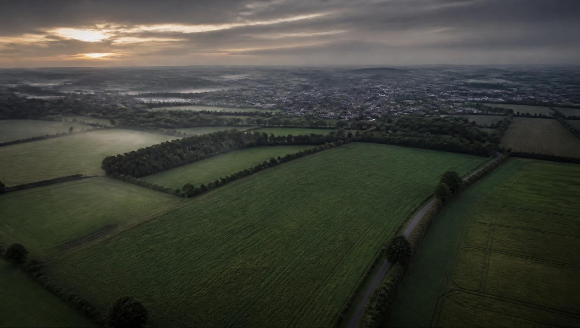
TELL AXARA WHAT
YOU’RE LOOKING FOR.
FIND LAND WORTH INVESTIGATING — OR INVESTIGATE LAND YOU ALREADY KNOW.
Start with a requirement, an area or a site. AXARA turns available planning, development, environmental and spatial evidence into persistent LAND intelligence.
Evidence-led intelligence, with sources, uncertainty and unknowns made explicit.
DEVELOPERS · LAND BUYERS · PLANNING & LAND TEAMS · ADVISORS & INVESTORS
Boundary recorded against the land itself.
- EXTENT
- Boundary recorded
START WITH A REQUIREMENT,
AN AREA — OR A SITE.
FIND OPPORTUNITIES
I WANT TO EXPLORE POTENTIAL OPPORTUNITIES
Search an area directly and surface land worth investigating using available planning, development, constraint and environmental evidence.
FIND OPPORTUNITIESINVESTIGATE LAND
I ALREADY KNOW THE SITE
Already have a site in mind? Search, draw or import its boundary and create an evidence-backed LAND record you can return to.
INVESTIGATE LANDTRY AXARA LAND FREE — ONE REAL LAND SEARCH, NO CARD REQUIRED. Not sure where to start? Tell AXARA what you’re looking for. Describe is the easiest first step: it asks for a requirement in plain English, not product knowledge.
- 01DESCRIBE / FIND
- 02INVESTIGATE
- 03UNDERSTAND
- 04REMEMBER
- 05ACT
Describe and Find are two ways in — both lead to the same investigation and record. Checks run when you ask for them. AXARA does not watch land continuously.
ONE SITE.
ONE INTELLIGENCE RECORD.
AXARA connects the evidence around a place and keeps it attached to the land itself.
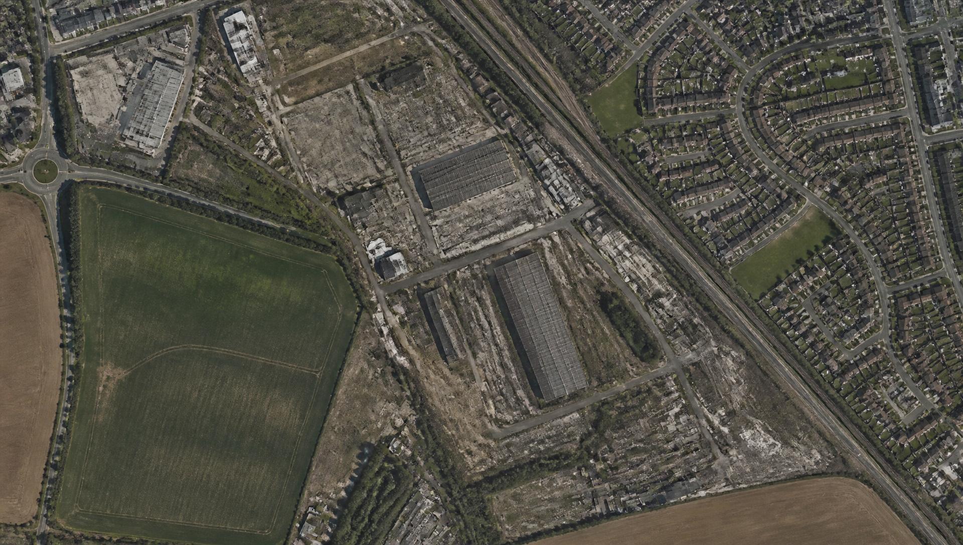
Boundary recorded
- PLANNING
- 47 RECORDS FOUND
- FLOOD
- EVIDENCE CHECKED
- ENVIRONMENT
- DESIGNATIONS CHECKED
- PLANNING PRECEDENT
- 6 RELEVANT RECORDS
- EARTH OBSERVATION
- 2 OBSERVATIONS AVAILABLE
- OWNERSHIP
- UNKNOWN / NOT VERIFIED
- +Development activity recorded nearby.
- !Flood evidence requires attention before further cost is committed.
- ?Ownership not established — no authoritative evidence held.
LAND INTELLIGENCE SHOULDN’T
START FROM SCRATCH EVERY TIME.
Planning evidence, environmental records, maps, imagery and documents normally live in different places. AXARA connects what is available to one persistent record.
The record remains available when you return. New checks can be compared with what AXARA already knew.
DON’T JUST INVESTIGATE
LAND YOU ALREADY KNOW.
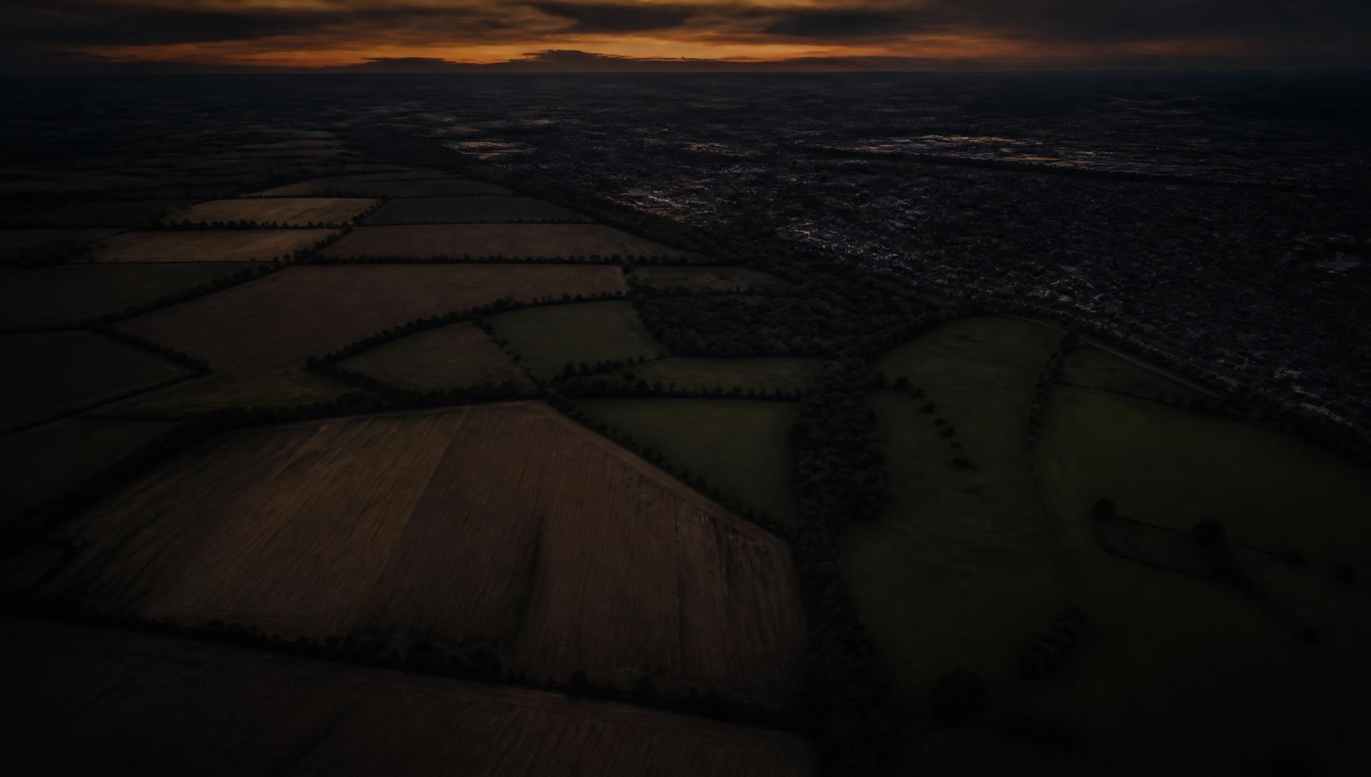
Choose an area and AXARA searches the evidence it can access for candidate land. Candidates are surfaced because of evidence signals — not because AXARA has decided they should be developed or purchased.
- +DEVELOPMENT ACTIVITY NEARBY
- +RELEVANT PLANNING PRECEDENT
- +BROWNFIELD EVIDENCE
- !FLOOD EVIDENCE REQUIRES ATTENTION
- ?OWNERSHIP NOT ESTABLISHED
A candidate is land worth investigating on the evidence AXARA can read. It is not a development site, a valuation, a planning outcome or a recommendation to buy.
Surfaced by evidence signals.
Evidence read against the boundary.
Something AXARA can return to.
When a candidate deserves a closer look, promote it into a LAND record. The evidence, boundary and investigation then become something AXARA can return to.
THE LAND CHANGES.
THE RECORD CHANGES WITH IT.
Boundary and extent attached
Attached to the record
Attached to the record
Recorded nearby
Added to record
New comparison available
Resolved
“WHAT HAS CHANGED SINCE I LAST CHECKED?”
AXARA compares new checks with the evidence already attached to the record, so you can understand what changed rather than rebuilding the investigation from zero.
Checks run according to the implemented LAND behaviour. AXARA does not run continuous background surveillance of land.
INTERROGATE THE LAND RECORD.
Ask questions against the evidence AXARA actually holds for the site.
- › What should I know before pursuing this site?
- › What changed since I last checked?
- › What nearby planning applications matter?
- › Why did AXARA surface this land?
- › What evidence is missing?
- › What deserves attention next?
- QUESTION
- LAND RECORD
- RELEVANT EVIDENCE
- INTERPRETATION
- ANSWER
- SOURCES + LIMITS
Evidence stays separate from interpretation. UNKNOWN remains UNKNOWN — AXARA does not assert ownership, value or planning likelihood that the evidence does not support.
WHAT LAND ACTUALLY DOES
Six groups, each carrying its real status — matching /status. Nothing marked IN DEVELOPMENT is running yet. Open a group to read the detail.
DISCOVERFind land worth investigating.3 +
- OPPORTUNITY DISCOVERYLIVE
Searches connected land and planning registers for candidate sites in an area you choose, and shows why each one surfaced.
- SURROUNDING DEVELOPMENT INTELLIGENCELIVE
Surfaces planning and development activity in the area around a site.
- NEIGHBOURING LAND / ASSEMBLAGE INTELLIGENCELIVE
Identifies adjoining and nearby parcels relevant to a potential assemblage.
UNDERSTANDRead the evidence that applies to the land.3 +
- PLANNING INTELLIGENCELIVE
Reads planning applications, decisions and designations for a site from public planning sources.
- PLANNING PRECEDENT & REFUSAL INTELLIGENCELIVE
Finds comparable applications nearby, including approvals and refusals, and the reasons given.
- FLOOD & ENVIRONMENTAL EVIDENCELIVE
Reads flood risk, habitat and other environmental designations that apply to a site.
OBSERVESee physical change without a visit.1 +
- EARTH OBSERVATIONEXPERIMENTAL
Compares satellite and aerial imagery of a site through time.
REMEMBERReturn to what AXARA already knew.1 +
- WHAT'S CHANGEDLIVE
Highlights what is new in the evidence for a site since it was last reviewed.
INTERPRETWhat matters, and what is still missing.2 +
- OPPORTUNITY DETECTIONLIVE
Flags where the assembled evidence suggests a site may be worth a closer look.
- UNKNOWNS / NEXT ANSWERLIVE
States plainly what is not yet known about a site, and what would answer it.
ASKInterrogate the record.2 +
- AXARA LAND ADVISORLIVE
Answers questions about a site using only the evidence AXARA holds for it.
- BRIEF ME ON THIS LANDLIVE
Assembles a structured brief from everything AXARA holds on a site, with sources shown.
AXARA SHOWS ITS WORK.
Material intelligence remains connected to its evidence. Sources, retrieval dates, uncertainty and missing information are exposed rather than hidden.
- SOURCE
- Local planning authority register
- DATASET
- Planning applications
- RETRIEVED
- Date and time of retrieval recorded
- SPATIAL RELATIONSHIP
- Recorded within the searched radius of the boundary
- EVIDENCE
- An application was recorded on adjacent land
- INTERPRETATION
- Development activity in the surrounding area
- LIMITATION
- Register coverage is partial; absence of a record is not evidence of absence
SUPPORTED BY CONNECTED EVIDENCE
AXARA DOES NOT CURRENTLY HAVE SUFFICIENT EVIDENCE
WHAT AXARA LAND DOES NOT ASSUME
- A candidate is not automatically a development opportunity.
- AXARA does not predict planning permission.
- AXARA does not value land.
- Planning applicants and agents are not assumed to be landowners.
- Ownership remains UNKNOWN where authoritative evidence is absent.
- Earth observation is not real-time surveillance.
- External datasets may be incomplete, delayed or unavailable.
- AXARA does not replace authoritative source records or professional judgement.
Guides for finding, investigating and understanding land.
- LAND · FINDING LANDHOW TO FIND DEVELOPMENT LANDYou find development land by working outward from evidence rather than inward from listings. Start with a defined search area, layer planning history, constraints, access and physical change, then shortlist the sites where the evidence supports a development story and the unknowns are answerable. Portals show you what is already being marketed; a repeatable evidence method shows you what is worth investigating before it is.READ GUIDE →
- LAND · INVESTIGATIONHOW TO INVESTIGATE A PARCEL OF LANDInvestigating land means answering six questions in order: where exactly is it, what has been proposed here before, what constrains it, how is it reached, what has physically changed, and what do we still not know. Recording the answers — including the unknowns — is what makes the investigation reusable rather than disposable.READ GUIDE →
- LAND · INVESTIGATIONHOW TO CHECK THE PLANNING HISTORY OF A SITECheck planning history by searching the local planning authority's register for the site and its neighbours, then reading the detail — decision notices, refusal reasons, conditions, officer reports, withdrawals and appeals. The headline decision is the least informative part; the reasoning is what tells you how this land is viewed.READ GUIDE →
- LAND · INVESTIGATIONLAND DUE DILIGENCE: A PRACTICAL CHECKLISTLand due diligence is the verification stage: title, planning, constraints, physical condition, access, services and environmental risk. Sequence it so the cheap, decisive checks happen first and expensive professional work is only commissioned for sites that survive them. Every finding, including each unresolved unknown, belongs in one record.READ GUIDE →
TELL AXARA WHAT YOU WANT.
THEN UNDERSTAND THE LAND.
Describe the opportunity you’re looking for, explore an area, or start from a site you already know. Build an evidence-backed record, understand what matters, and return later to see what changed.